Introduction
As the least visited country in the world, a tiny island in the Pacific Ocean of just 21 square kilometres, it will not take long to discuss the map of Nauru.
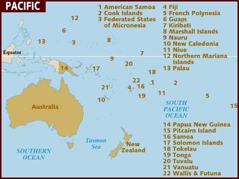
Indeed, Nauru is a microstate, the only other recognised countries smaller than it are Monaco and the Vatican City! Its closest neighbours are Banaba Island in Kiribati, a mere 300km away, and Tuvalu, over 1200km away, and then the Solomon Islands and Papua New Guinea.
As a microstate, it has a tiny population of only just over 10,000 people, the second-lowest in the world after the Vatican.
Nauru has been no stranger to controversy though, the island is phosphate-rock which made Nauru rich for a time, it has been a tax-haven infamous for money-laundering and it was, of course, the Regional Processing Centre for migrants to Australia. Nauru was basically Australia’s offshore detention centre.
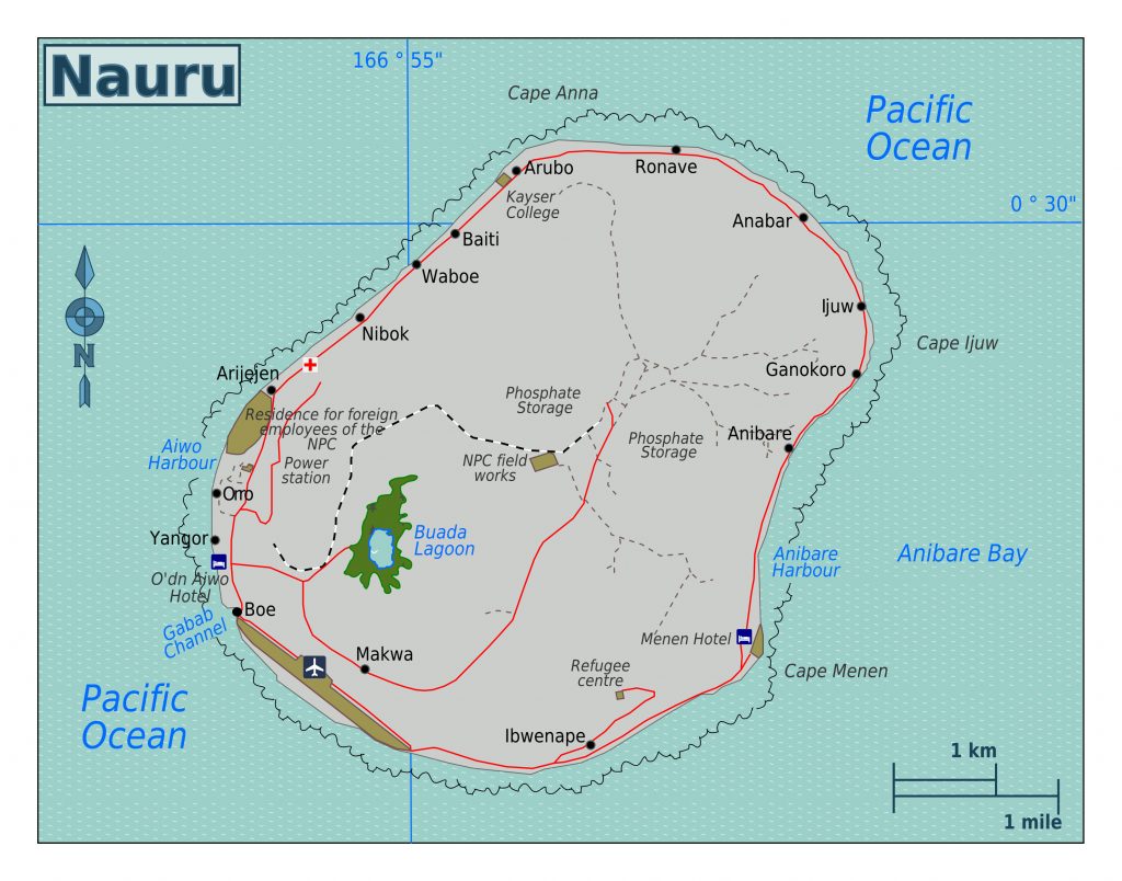
Nauru is an oval shape and is surrounded by a coral reef, so there is no seaport although small boats can access it. The high point of the island is Command Ridge, 71 metres above sea level.
There are 14 apparent zones on the island, going clockwise from the north: Anetan, Anabar, Ijuw, Anibare, Meneng, Yaren (the supposed capital), Boe, Buada, Aiwo, Denigomodu, Nibok, Uaboe, Baiti and Ewa.
Unlike other Pacific nations, Nauru does not have great beaches and swimming opportunities. It does give you the option to walk around a country in a day, or indeed do a bar crawl covering every bar on the island!