Tucked deep in the mountains of northern Laos lies Long Tieng, once considered “the most secret place on Earth.” This former CIA-backed airbase was a key hub during the Secret War, a covert campaign conducted during the Vietnam War, and remained off-limits to visitors for decades.
Today, it’s a remote village with a layered history.
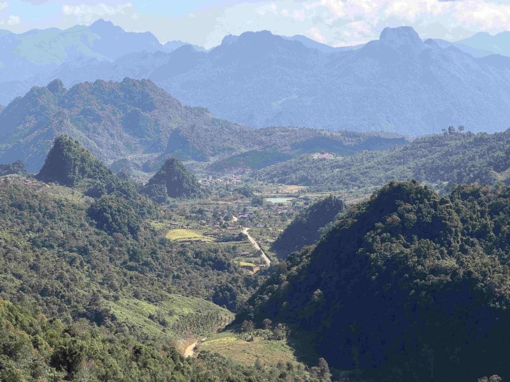
Table of Contents
A Hidden Corner of Laos
Long Tieng, also known as Long Cheng, sits deep in the mountains of Xaysomboun Province, Laos’ newest province, officially established in 2013. For decades, this region was known simply as the “special zone.”
Steep mountains, narrow valleys, and dense jungle define the landscape, making it both isolated and beautiful. This rugged terrain made Xaysomboun an ideal strategic hideout during the 1960s and early 70s. Even today, the area feels cut off from the rest of the country, with winding roads and long distances between villages.
The Secret War and the Bombing of Laos
During the Vietnam War, Laos became a battleground in what the United States called the Secret War. The CIA supported Hmong forces under General Vang Pao to counter the communist Pathet Lao and North Vietnamese Army.
Long Tieng became the main base for these operations, serving as a military, logistical, and intelligence centre. The program was so secretive that Long Tieng did not appear on most maps, and few outsiders knew it existed.
At the same time, much of Laos, especially Xiangkhouang Province, was bombed tirelessly, not to target Long Tieng, but to strike North Vietnamese positions, Pathet Lao strongholds, and supply routes linked to the Ho Chi Minh Trail. Between 1964 and 1973, the U.S. dropped over two million tons of ordnance on Laos, making it the most heavily bombed country per capita in history. Entire villages were destroyed, farmland was devastated, and unexploded bombs still pose a danger today.
From Long Tieng, CIA-supported missions were planned and launched into these contested areas, placing the base at the heart of a conflict.
The CIA Airbase
Once called Lima Site 98 (LS 98) or Lima Site 20A (LS 20A), Long Tieng was Laos’ second-largest city until the mid-1970s.
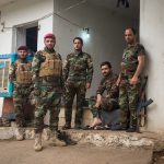
The airbase was one of the busiest in the region, supporting a guerrilla-led war against communism. At its peak, the town housed around 40,000 people, including Hmong soldiers in traditional clothing, Khmu and Lao Leum in military outfits, Thai mercenaries, and American pilots.
The Hmong community ran local businesses, taxis, food stalls, and repair shops to support the military presence. The sprawling airbase included runways, bunkers, radar stations, and a network of supply lines.
Visiting the Former Airbase Today
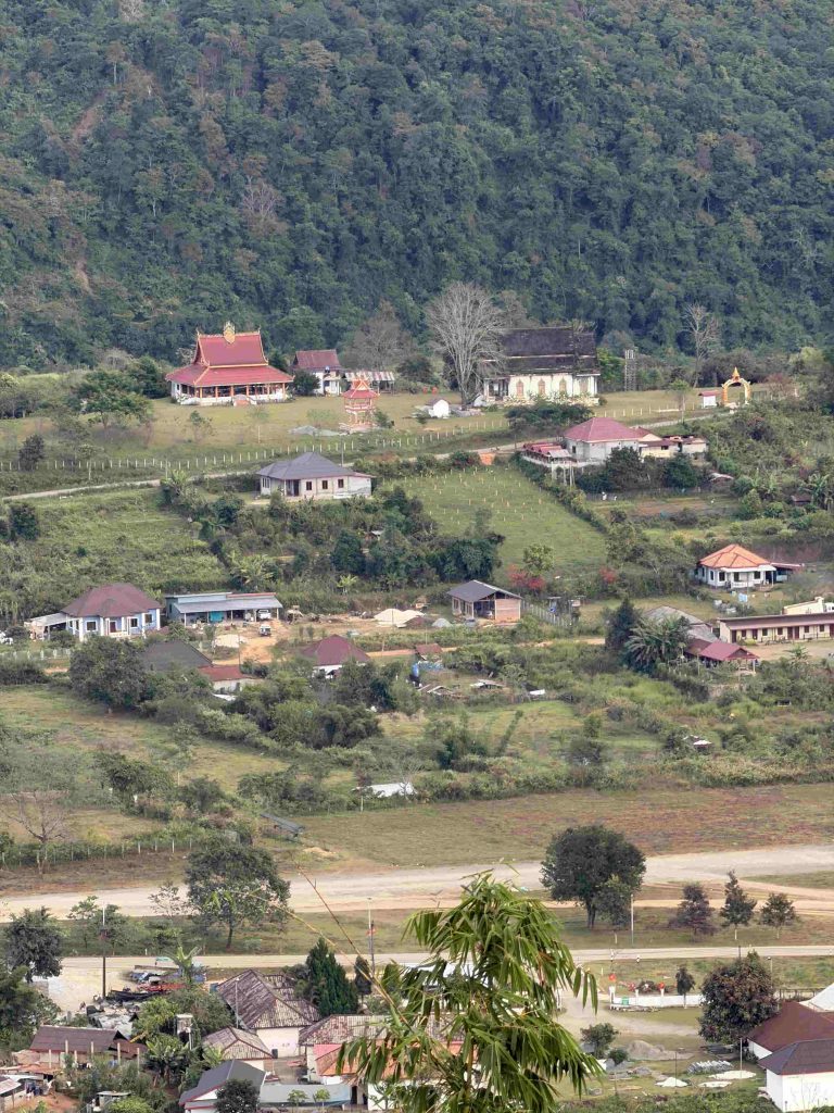
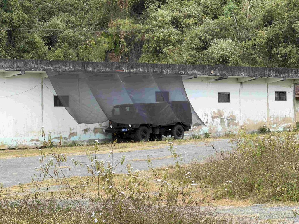
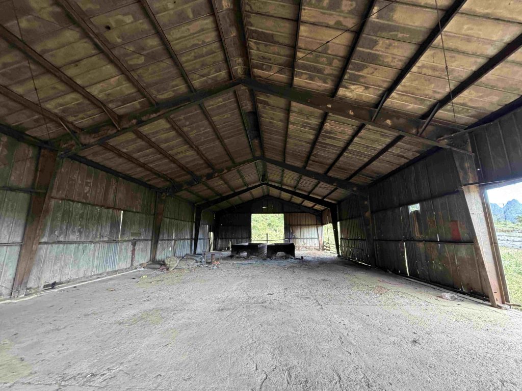
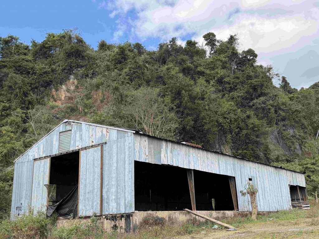
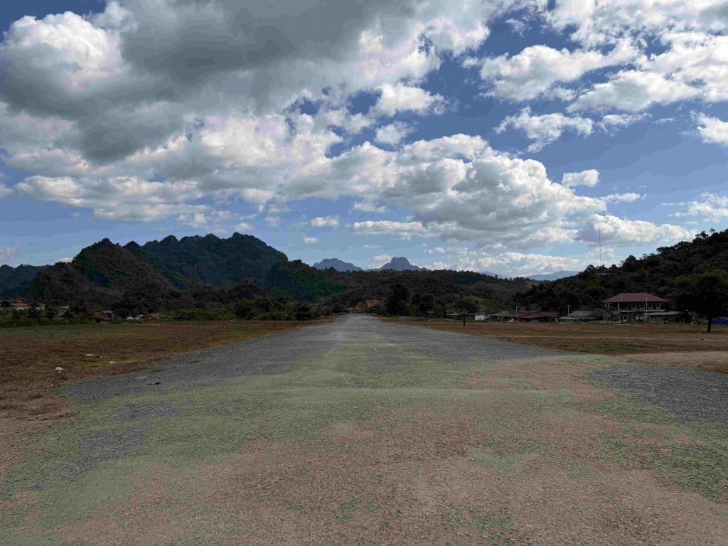
There’s not much left of the former airbase anymore, but you can still see parts of it scattered across the valley.
Around it, you can see the control tower, a hangar, the runway, and a few other buildings, some of which are now used for military purposes.
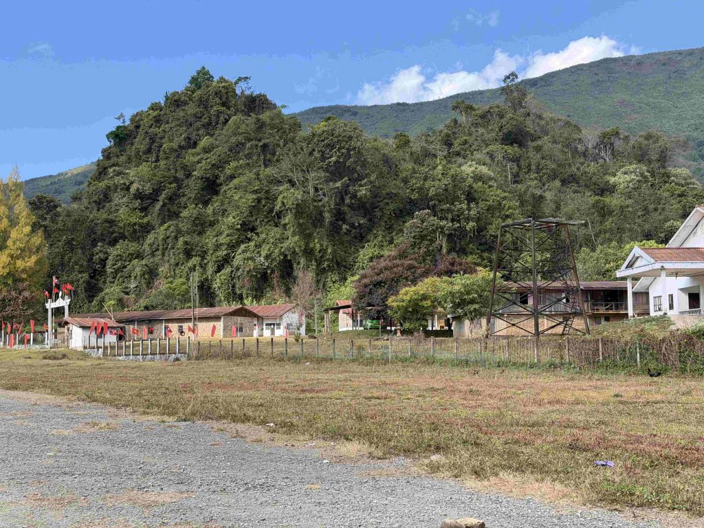
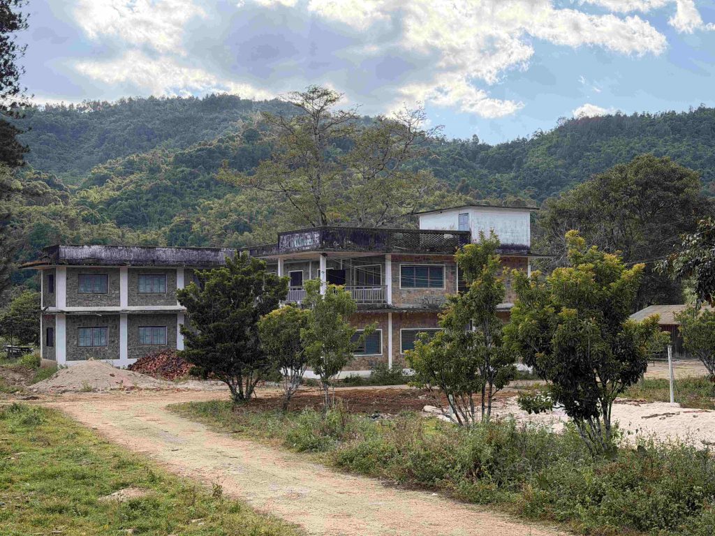
Nearby is the former house of General Vang Pao, surrounded by an overgrown garden.
From the surrounding hills, you get a view of the valley.
Life in Long Tieng now
Long Tieng no longer functions as an air base. What was a secret city is now a quiet rural village. The scars of the War are still visible, but much of the military infrastructure has faded.
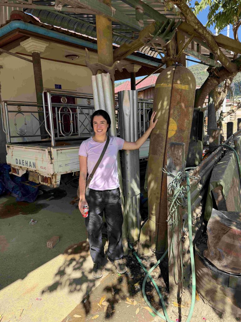
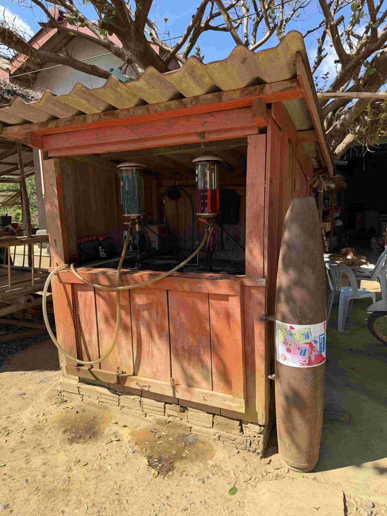
There are a couple of small restaurants, guesthouses, and multipurpose shops selling everything from rice and instant noodles to farming tools, some of them made from repurposed bombshell metal, a practical reminder of both the village’s agricultural roots and its wartime past.
Local communities continue to preserve traditional ways of life, relying on farming and small-scale trade. Walking through the village, it’s easy to imagine how different this place once was in the 1960s: soldiers moving between the airbase and their homes, busy markets filled with vendors, and the constant hum of aircraft supporting covert operations.
How to get there
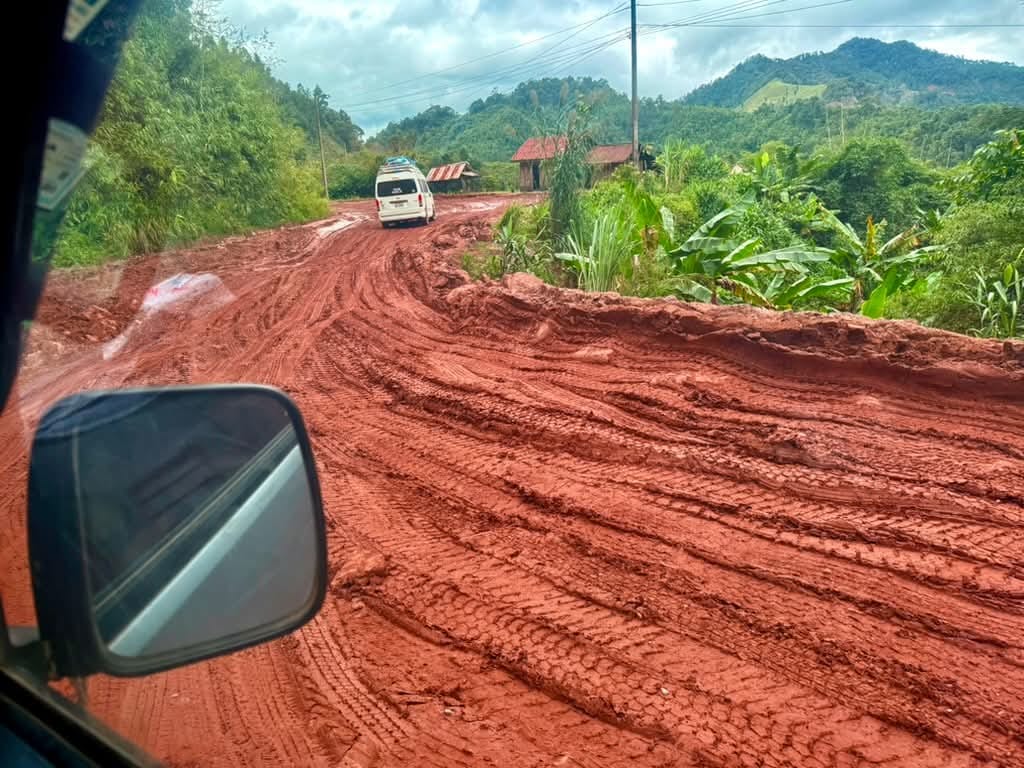
Getting to Long Tieng takes a bit of effort, but the journey is part of the experience. The easiest route is to fly from Vientiane to Phonsavan, the capital of Xaisomboun Province, then make the journey overland into the mountains. The flight takes around 35–40 minutes, and from there it’s still a long drive of about 4–5 hours on rough, mostly unpaved roads before you reach Long Tieng. The scenery along the way is beautiful, but the road conditions are often very poor, so a 4×4 vehicle is recommended. Many travellers avoid the rainy season because heavy rain can make the dirt tracks worse and slow progress even more.
If flights are limited or fully booked, driving all the way from Vientiane is possible, but it’s a long day. From Long Tieng back to Vientiane, the trip can take around 10 hours, with the first part on rough roads before you reach better paved highways closer to the capital.
Public transport options are limited. Some minibuses and shared taxis run between Phonsavan and nearby villages, but schedules are irregular, and seats can fill up quickly. You can also catch a local bus from the Phonsavan bus station toward Long Tieng or hire a motorbike taxi for the last stretch, but always check times and negotiate prices beforehand.
Conclusion
Visiting Long Tieng might take some time and effort, but it’s definitely worth it. Here, you can see a piece of history with your own eyes, explore the remnants of the secret airbase, and witness how the country has rebuilt after the conflict, while still feeling the effects of unexploded bombs scattered across the region.
For those who want to go even deeper into Laos’ history, with logistics handled for you and access to the best local guides, join our Ultimate Southeast Asia Adventure.